


Denmark Regional Map
The following locations are plotted on the Denmark Regional Map, below.
Interactive Denmark Regional Map
What's on the map? These are the locations plotted above:
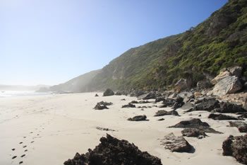
 William Bay National Park
 Visit Greens Pool, Elephant Rocks, Mazzoletti Beach, Tower Hill, Madfish Bay and Waterfall Beach! Visit William Bay National Park
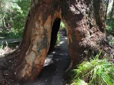 Ancient Empires Walk
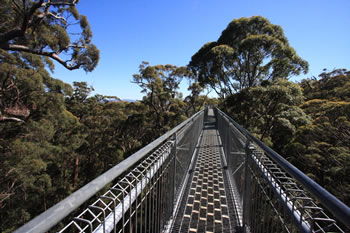
 The Ancient Empires Walk takes you through the forest at the base of the Giant Tingle Trees at the Treetop Walk. Visit Ancient Empires Walk
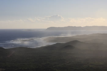
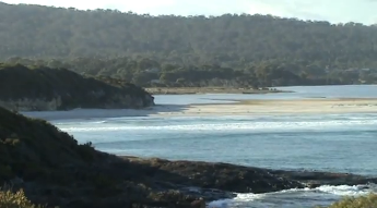
 Anvil Beach
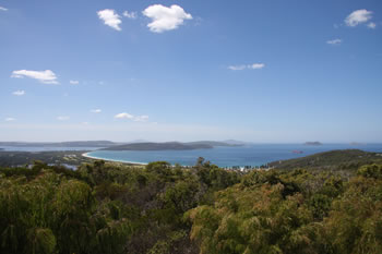
 Anvil Beach is a beautiful beach on the south side of Nullaki Peninsula on the Great Southern Ocean. Visit Anvil Beach
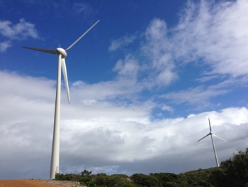 Denmark Windfarm
 The Denmark Community Windfarm sits atop Wilson Head just a bit south-west of Ocean Beach and the Wilson Inlet. Visit Denmark Windfarm
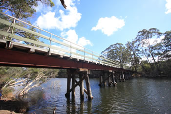 Heritage Rail Bridge
 The Bridge is easily accessed by driving south along the river on Hollings Drive where you will find parking spaces, picnic tables and a gazebo. Visit Heritage Rail Bridge
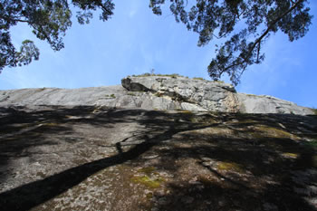
 McGearys Rock
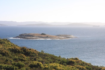
 McGearys Rock is a popular rock fishing location close to Ocean Beach. It offers panoramic views of the bay and Nullaki Peninsula to the east. Visit McGearys Rock
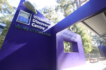 Valley of the Giants
 The Valley of the Giants Wilderness Discovery Centre at the Treetop Walk is the most visited place on the Rainbow Coast. Visit Valley of the Giants
Related Maps:
 If this helped you, FOLLOW US ON FACEBOOK to show your support!
Other amazing locations in the South-West of Western Australia!
More information on the south-west coast in our other Western Australian travellers guides:
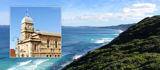
Albany Tourist Information:
Albany WA
The Albany is the oldest settlement in Western Australia. Filled with history, surrounded by beaches and waterways, and a great place to visit while on holiday on the south coast of WA. Visit Albany today.
Have you visited?
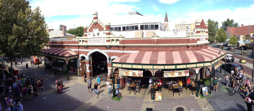
Fremantle WA
Fremantle, the Port City, is located south-west of Perth at the mouth of the Swan River. Fremantle's vibrant nightlife, music scene and cafe' culture make Fremantle a perfect getaway from the bustle of Perth. Beaches, history, shopping, dining out, and more. VISIT FREMANTLE
Have you visited?
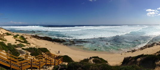
Margaret River, WA
The Margaret River Region is an area of magnificent beauty on the western coast of the south west of WA. From the expansive shores of Busselton on Geographe Bay, through Dunsborough & Margaret River to Augusta, the Margaret River Region is fantastic. VISIT MARGARET RIVER
Have you visited?
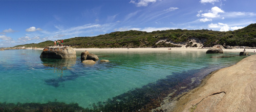
Denmark WA
Denmark WA is one of the most beautiful places along the south coast as it has forests, beaches, rivers and waves. Everything you need for the perfect south coast holiday. Denmark Wineries are popular too! Info on Denmark Town including shopping, dining & history, VISIT DENMARK WA